


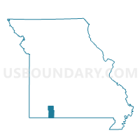
Ruth B Voting District, Stone County, Missouri
About
Outline

Summary
| Unique Area Identifier | 611431 |
| Name | Ruth B Voting District |
| County | Stone County |
| State | Missouri |
| Area (square miles) | 3.43 |
| Land Area (square miles) | 3.43 |
| Water Area (square miles) | 0.00 |
| % of Land Area | 99.88 |
| % of Water Area | 0.12 |
| Latitude of the Internal Point | 36.64801620 |
| Longtitude of the Internal Point | -93.42419610 |
Maps


Graphs
Select a template below for downloading or customizing gragh for Ruth B Voting District, Stone County, Missouri


